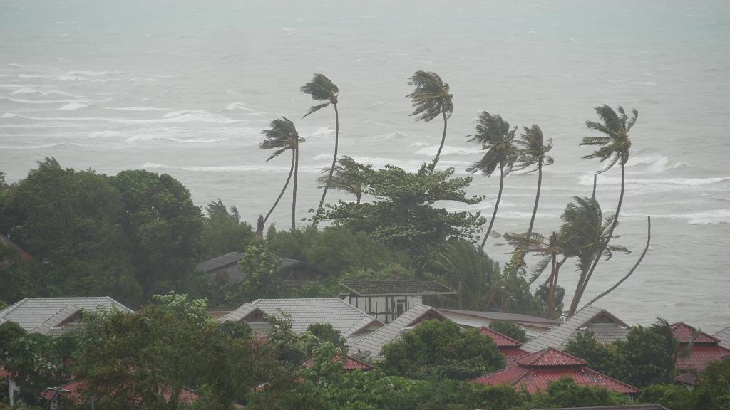
New Delhi: A low pressure area formed over south-east Bay of Bengal on Monday is expected to intensify into a cyclone and likely to move towards the Bangladesh-Myanmar coast later this week, the weather office said here.
The low pressure area is expected to concentrate into a depression by Tuesday evening and then intensify into a cyclonic storm the next day, Mrutyunjay Mohapatra, Director General of India Meteorological Department, told reporters here.
He asked fishermen, ships, trawlers and small boats not to venture into the south-east Bay of Bengal and urged those in the region to return to the coast.
The cyclone will be named Mocha (Mokha), a name suggested by Yemen after the Red Sea port city, which is known to have introduced coffee to the world over 500 years ago.
“The cyclonic storm will move initially north-northwest to central Bay of Bengal till May 11 and then re-curve and move north-northeast towards Bangladesh-Myanmar coast,” Mohapatra said.
He said squally wind speed reaching 50-60 kmph gusting to 70 kmph is likely over southeast Bay of Bengal, Andaman and Nicobar Islands and adjoining Andaman Sea on Tuesday.
Mohapatra said under the influence of the weather system, Andaman and Nicobar islands are expected to experience very heavy rainfall on Tuesday.
The weather office has suggested regulation of tourism and offshore activities and shipping near Andaman and Nicobar Islands and over the sea areas of southeast and central Bay of Bengal till Friday.


